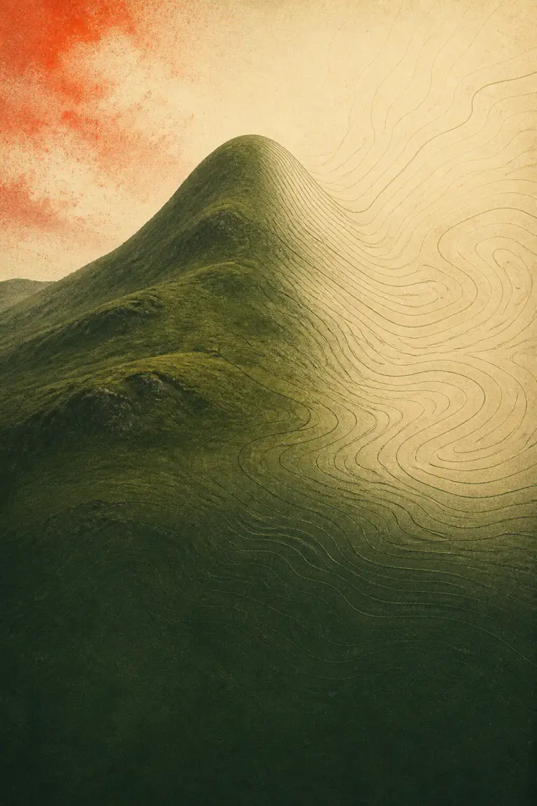
MapsHow Contour Lines Show the Shape of a HillHow equal-height curves turn terrain into a readable pattern
How Contour Lines Show the Shape of a Hill
How equal-height curves turn terrain into a readable pattern
BBob13w ago
Learn what contour lines, projections, earthquake patterns, glacier marks, routes, and borders are really telling you.
How equal-height curves turn terrain into a readable pattern
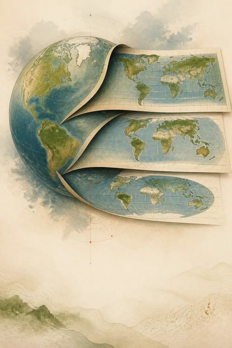
A flat map can preserve selected relationships, never the whole globe
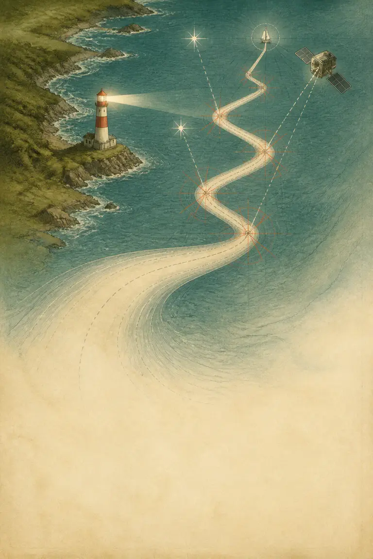
Every position estimate drifts until another observation pulls it back
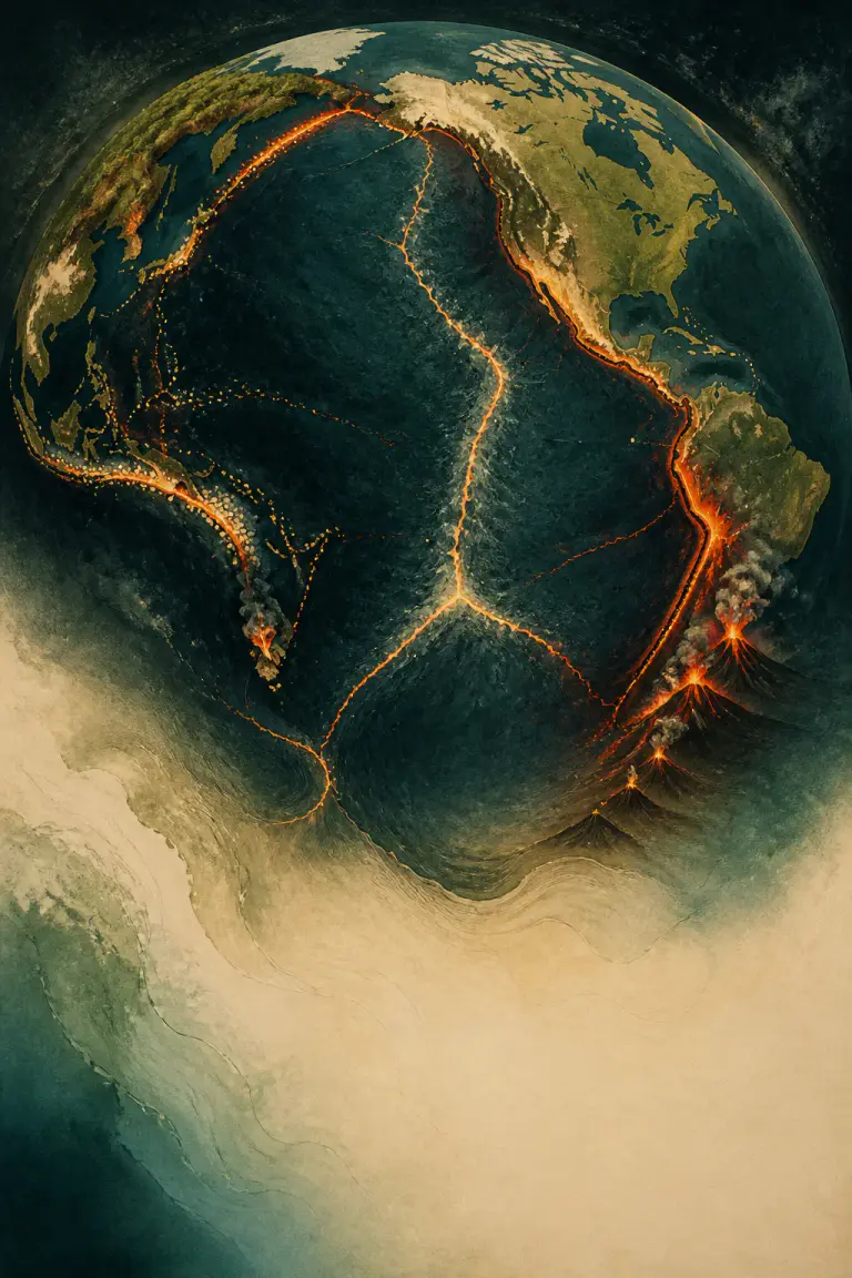
One global map connects earthquakes, volcanoes, ridges, and trenches
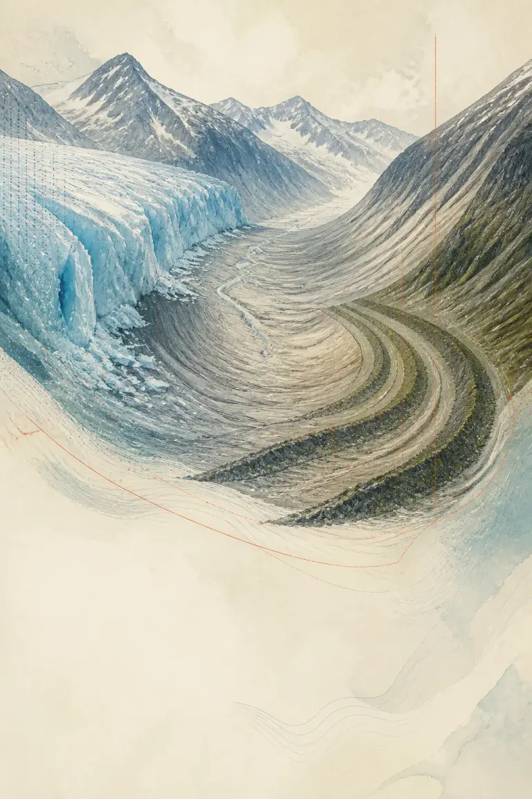
Scratches, valleys, and dumped debris preserve the movement of vanished ice
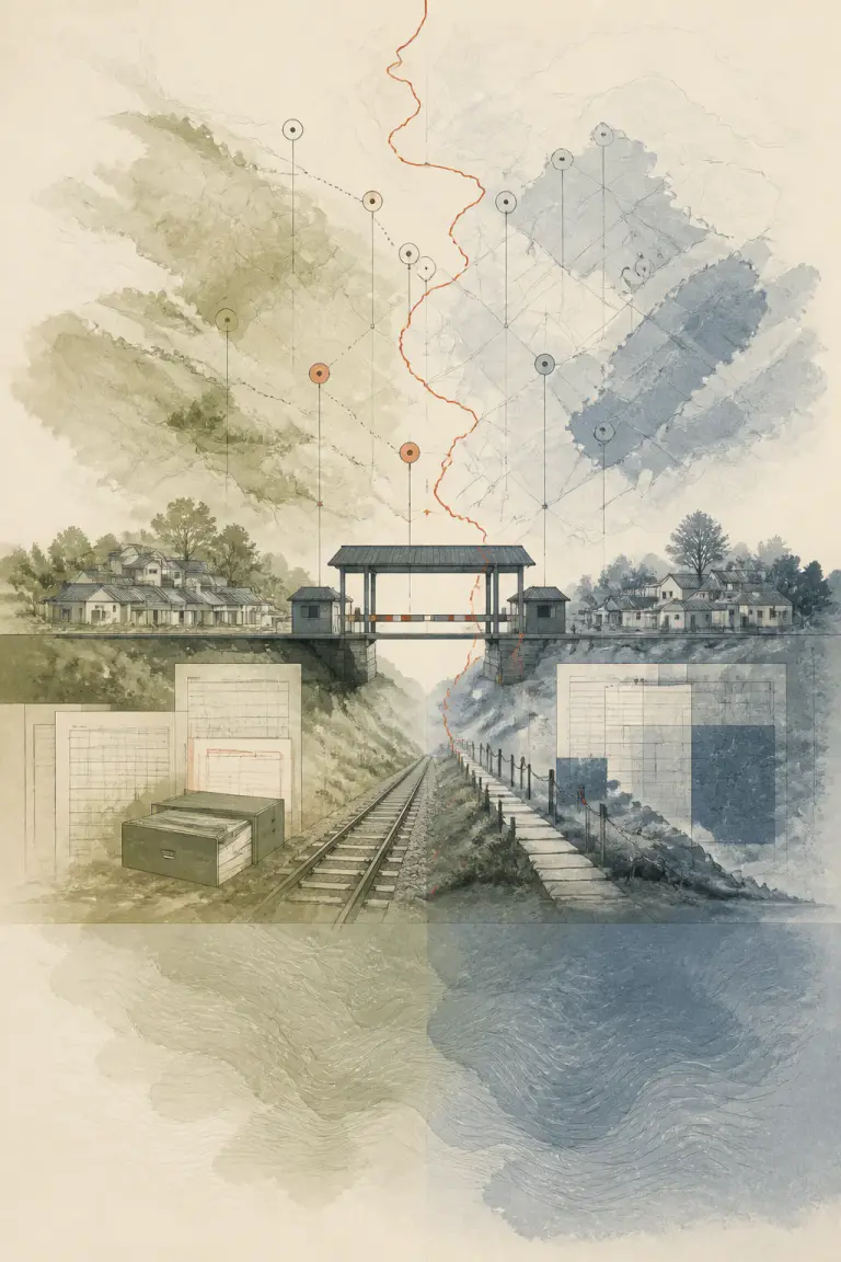
A legal boundary becomes real through gates, records, infrastructure, and routines